GIS-assisted trans-boundary risk mapping for water related food, health assessment and disaster risk reduction: Pilot, Sta. Rosa-Silang sub-watershed
- Global styles
- MLA
- Vancouver
- Elsevier - Harvard
- APA
- Help
Share
抄録
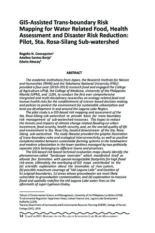
The academic institutions from Japan, the Research Institute for Nature and Humanities (RIHN) and the Yokohama National University (YNU) provided a four-year (2010-2013) research fund and engaged the College of Agriculture-UPLB, the College of Medicine, University of the Philippines Manila (UPM), and LLDA, to conduct the first ever comprehensive integrated and multi-disciplinary researches on ecology-related food and human health risks for the establishment of science-based decision making and policies to protect the environment for sustainable urbanization and land use development in and around the Laguna Lake Region.
The pilot study is a GIS-based risk mapping and assessment of the Sta. Rosa-Silang sub-watershed to provide basis for trans-boundary risk management of sub-watershed resources. This hopes to reduce the threats and impacts of climate change related flooding on urban investment, food security, health security, and, on the overall quality of life and environment in Sta. Rosa City, located downstream of the Sta. Rosa-Silang sub-watershed. The study likewise provided the graphic illustration of trans-boundary roles and ecological interconnectivity, as well as positive complementation between sustainable farming systems in the headwaters and modern urbanization in the lower portions managed by two politically separate LGUs belonging to different towns and provinces.
The GIS-based risk based technical evaluation maps clearly identify the phenomenon called landscape inversion which manifested itself as alluvial fan formation with special recognizable footprints for high flood risk areas. Ultimately, the overlaying of GIS maps contributed to the (a) scientific explanation about the anomalies of river system, (b) possible maximum coverage of old Laguna Lake and location of its original boundaries, (c) areas whose groundwater are most likely vulnerable to groundwater contamination; and (d) explanation to massive flood and spatially redefine the old Laguna Lake water lines as the aftermath of super typhoon Ondoy.
Suggested Citation
Concepcion, R. N., Borja, A. S., & Abucay, E. (2013). GIS-assisted trans-boundary risk mapping for water related food, health assessment and disaster risk reduction: Pilot, Sta. Rosa-Silang sub-watershed. In M. L. C. Aralar, A. S. Borja, A. L. Palma, M. M. Mendoza, P. C. Ocampo, E. V. Manalili, & L. C. Darvin (Eds.), LakeCon2011: Building on the pillars of Integrated Lake Basin Management (Second National Congress on Philippine Lakes) (pp. 14-45). Los Baños, Laguna, Philippines: PCAARRD-DOST.
Type
Conference paperISSN
1656-8099シリーズ
Summary of Proceedings No. 1/2013;Collections
- LakeCon2011 [30]
Related items
Showing items related by title, author, creator and subject.
-
Risk analysis in aquaculture
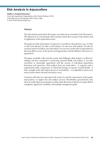
Bondad-Reantaso, Melba G. (Aquaculture Department, Southeast Asian Fisheries Development Center, 2019)The information presented in this paper were taken from several key FAO documents. The objective is to continuously raise awareness about the concept of risk analysis and its application to the aquaculture sector. The paper ... -
OIE international standards on aquatic animals
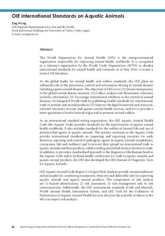
Wang, Jing (Aquaculture Department, Southeast Asian Fisheries Development Center, 2019)The World Organisation for Animal Health (OIE) is the intergovernmental organisation responsible for improving animal health worldwide. It is recognised as a reference organisation by the World Trade Organization (WTO) to ... -
Risk management in aquaculture
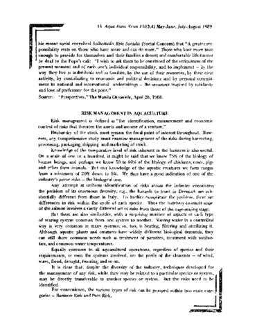
Carreon-Lagoc, Julia; Southeast Asian Fisheries Development Center, Aquaculture Department (Aquaculture Department, Southeast Asian Fisheries Development Center, 1989)


