Perlihatkan publikasi sederhana
Bathymetry and vertical temperature profile of Lake Mainit
| dc.contributor.author | Gorospe, Jessie G. | |
| dc.contributor.author | Tumanda, Jr., Marcelino I. | |
| dc.contributor.author | Roa, Elnor C. | |
| dc.contributor.editor | Cuvin-Aralar, Maria Lourdes | |
| dc.contributor.editor | Punongbayan, Raymundo S. | |
| dc.contributor.editor | Santos-Borja, Adelina | |
| dc.contributor.editor | Castillo, Lourdes V. | |
| dc.contributor.editor | Manalili, Eduardo V. | |
| dc.contributor.editor | Mendoza, Marlynn M. | |
| dc.date.accessioned | 2021-07-27T05:56:41Z | |
| dc.date.available | 2021-07-27T05:56:41Z | |
| dc.date.issued | 2005 | |
| dc.identifier.citation | Gorospe, J. G., Tumanda, Jr., M. I., & Roa, E. C. (2005). Bathymetry and vertical temperature profile of Lake Mainit. In M. L. Cuvin-Aralar, R. S. Punongbayan, A. Santos-Borja, L. V. Castillo, E. V. Manalili, & M. M. Mendoza (Eds.), Proceedings of the First National Congress on Philippine Lakes (p. 125). Southeast Asian Regional Center for Graduate Study and Research in Agriculture (SEARCA). | en |
| dc.identifier.issn | 1656-8099 | |
| dc.identifier.uri | http://hdl.handle.net/10862/6128 | |
| dc.description | Abstract only. | en |
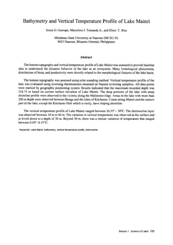
| dc.description.abstract | The bottom topography and vertical temperature profile of Lake Mainit was assessed to provide baseline data to understand the dynamic behavior of the lake as an ecosystem. Many limnological phenomena, distribution of biota, and productivity were directly related to the morphological features of the lake basin. The bottom topography was assessed using echo sounding method. Vertical temperature profile of the lake was evaluated using reversing thermometers mounted on Nansen reversing samplers. All data points were marked by geographic positioning system. Results indicated that the maximum recorded depth was 218.75 m based on current surface elevation of Lake Mainit. The deep portions of the lake with steep shoreline profile were observed in the vicinity along the Malimono ridge. Areas in the lake with more than 200 m depth were observed between Bonga and the islets of Kitcharao. Coasts along Mainit and the eastern part of the lake, except the Kitcharao Park which is rocky, have sloping shoreline. The vertical temperature profile of Lake Mainit ranged between 26.55° - 30°C. The thermocline layer was observed between 10 m to 40 m. The variation in vertical temperature was observed at the surface and at levels down to a depth of 30 m. Beyond 30 m, there was a minute variation of temperature that ranged between 0.03° - 0.15°C. | en |
| dc.language.iso | en | en |
| dc.publisher | Southeast Asian Regional Center for Graduate Study and Research in Agriculture (SEARCA) | en |
| dc.subject | Lake Mainit | en |
| dc.subject | Vertical temperature profile | en |
| dc.title | Bathymetry and vertical temperature profile of Lake Mainit | en |
| dc.type | Conference paper | en |
| dc.citation.spage | 125 | en |
| dc.citation.conferenceTitle | Proceedings of the First National Congress on Philippine Lakes | en |
| dc.subject.asfa | bathymetry | en |
| dc.subject.asfa | thermocline | en |
| dc.subject.asfa | topography | en |
| dc.subject.asfa | lakes | en |
| dc.subject.asfa | echosounding | en |
| dc.subject.asfa | temperature | en |
Files in this item
Publikasi ini ada di koleksi berikut
-
LakeCon2003 [49]
Proceedings of the First National Congress on Philippine Lakes


