Bathymetry and hydrobiology of Lake Mahagnao, Leyte
- Global styles
- MLA
- Vancouver
- Elsevier - Harvard
- APA
- Help
Share
นามธรรม
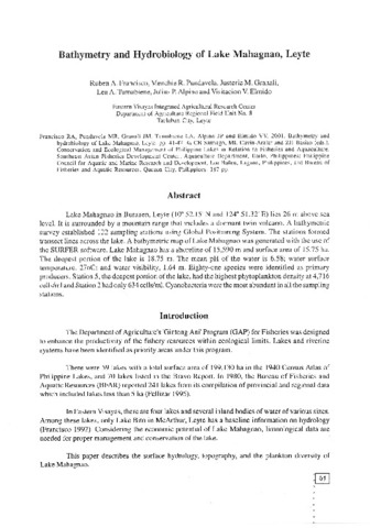
Lake Mahagnao in Burauen, Leyte (10° 52.15' N and 124° 51.32' E) lies 26 m above sea level. It is surrounded by a mountain range that includes a dormant twin volcano. A bathymetric survey established 122 sampling stations using Global Positioning System. The stations formed transect lines across the lake. A bathymetric map of Lake Mahagnao was generated with the use of the SURFER software. Lake Mahagnao has a shoreline of 15,590 m and surface area of 15.75 ha. The deepest portion of the lake is 18.75 m. The mean pH of the water is 6.58; water surface temperature, 27oC; and water visibility, 1.64 m. Eighty-one species were identified as primary producers. Station 5, the deepest portion of the lake, had the highest phytoplankton density at 4,716 cells/ml and Station 2 had only 634 cells/ml. Cyanobacteria were the most abundant in all the sampling stations.
การอ้างอิง
Francisco, R. A., Pundavela, M. R., Granali, J. M., Tumabiene, L. A., Alpino, J. P., & Elmido, V. V. (2001). Bathymetry and hydrobiology of Lake Mahagnao, Leyte. In C. B. Santiago, M. L. Cuvin-Aralar, & Z. U. Basiao (Eds.), Conservation and Ecological Management of Philippine Lakes in Relation to Fisheries and Aquaculture (pp. 41-47). Tigbauan, Iloilo, Philippines: Aquaculture Department, Southeast Asian Fisheries Development Center; Los Baños, Laguna, Philippines: Philippine Council for Aquatic and Marine Research and Development (PCAMRD), Department of Science and Technology; Quezon City, Philippines: Bureau of Fisheries and Aquatic Resources (BFAR), Department of Agriculture, Quezon City, Philippines.
Type
Conference paperISBN
9718511539


